Northern Michigan Mesh Regions
Explore the county-based region reference and download the exact map and GeoJSON source files.
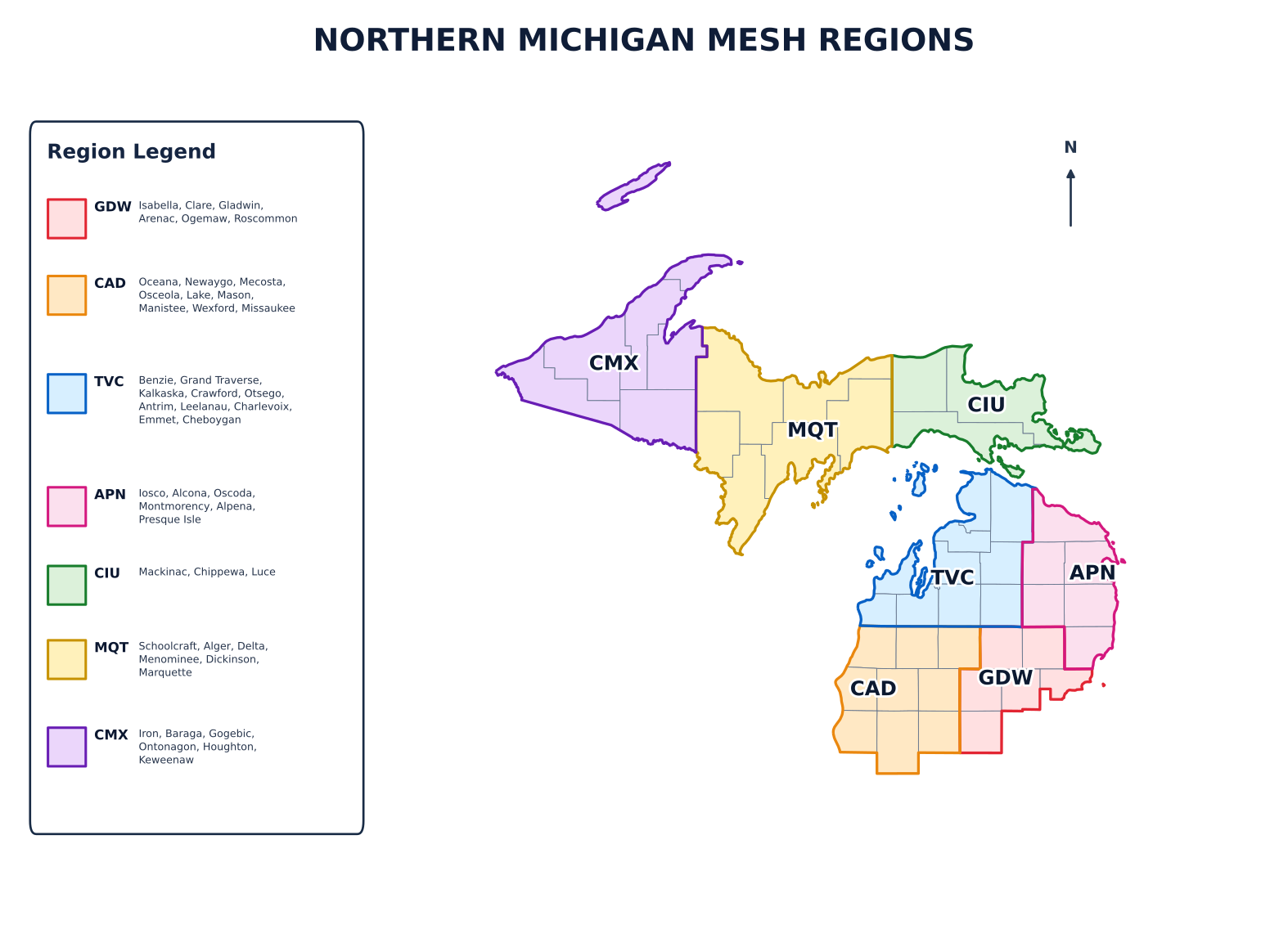
Download map and region data
Vector and image formats for sharing; GeoJSON for GIS software, mapping applications, and integrations.
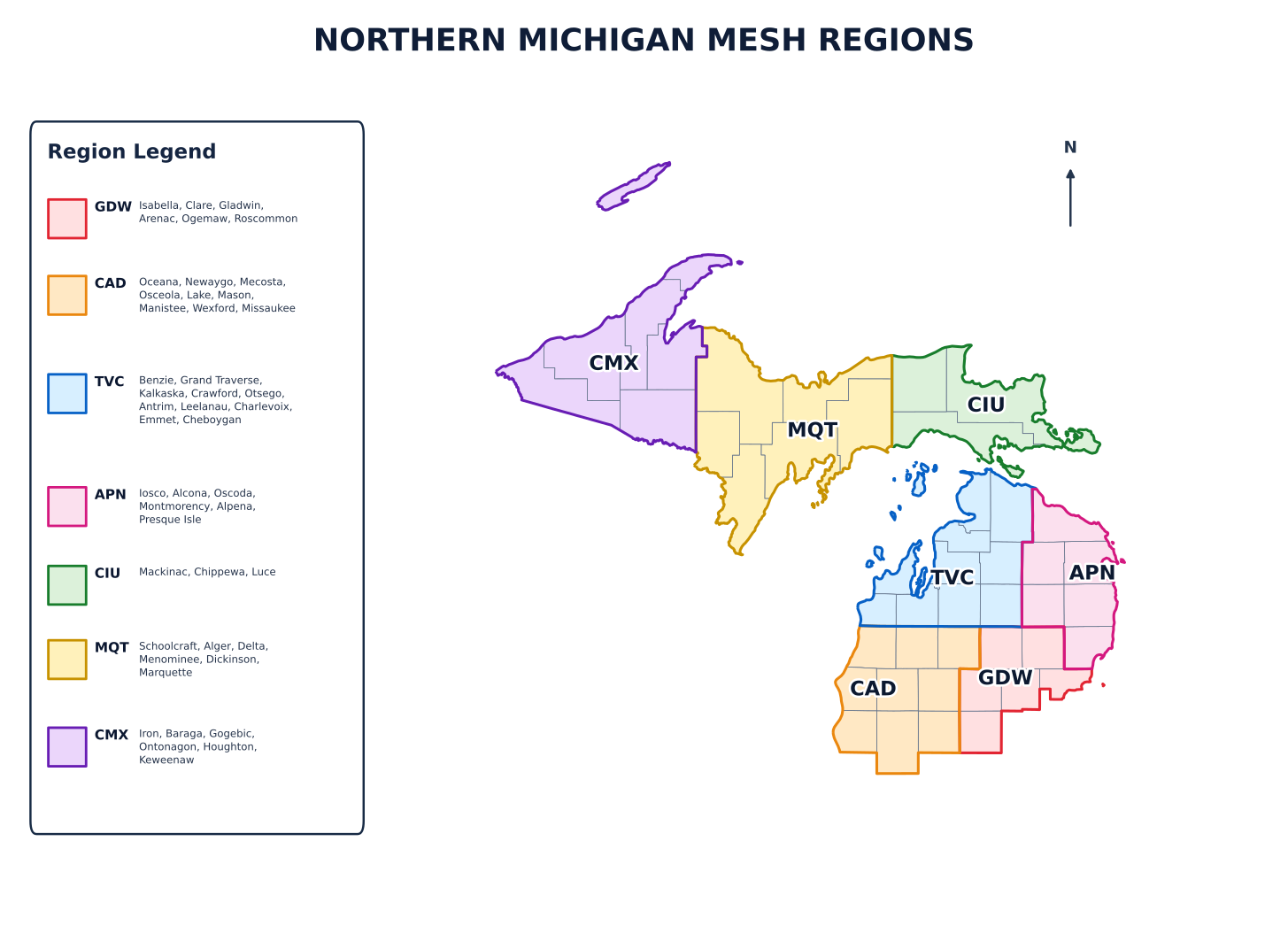
| Region | Counties |
|---|---|
| GDW | Isabella, Clare, Gladwin, Arenac, Ogemaw, Roscommon |
| CAD | Oceana, Newaygo, Mecosta, Osceola, Lake, Mason, Manistee, Wexford, Missaukee |
| TVC | Benzie, Grand Traverse, Kalkaska, Crawford, Otsego, Antrim, Leelanau, Charlevoix, Emmet, Cheboygan |
| APN | Iosco, Alcona, Oscoda, Montmorency, Alpena, Presque Isle |
| CIU | Mackinac, Chippewa, Luce |
| MQT | Schoolcraft, Alger, Delta, Menominee, Dickinson, Marquette |
| CMX | Iron, Baraga, Gogebic, Ontonagon, Houghton, Keweenaw |
Location codes are not radio scopes. Our three-letter codes (such as GDW) describe geographic reference areas and can be used for observer/MQTT reporting. They do not determine how a MeshCore repeater forwards messages. MeshCore scopes (such as mi-central) are separate, optionally configured RF forwarding settings. These map boundaries are not mandatory network territories or access rules. Learn the difference between IATA-style codes, region scopes, and forwarding policies →